BACK to All County Map Eastern Washington

Spokane County

County road alerts, weather impacts, closures, construction notices, and local safety resources for Spokane County.

WSDOT live data

Travel Conditions

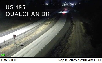
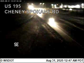
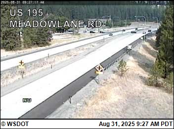
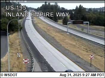
4 stations / 4 cameras

Road Weather Stations

4 nearby
Perry Curves on I-90 at mp 282.00 2.3 mi away · Updated Nov 3, 5:15 PM
Air49 F Wind2 mph / gust 5 mph E RainNot reported Visibility1 mi

N/A · Humidity 64%

US-195 @ I-90 Ramp Meter 2.8 mi away · Updated Nov 3, 5:12 PM
AirNot reported Wind0 mph / gust 0 mph N RainNot reported VisibilityNot reported

N/A · Humidity 72%

Garden Springs on I-90 at mp 278.20 3.4 mi away · Updated Nov 3, 5:15 PM
Air46 F Wind2 mph / gust 3 mph NE RainNot reported Visibility1 mi

N/A · Humidity 72%

Medical Lake on I-90 at mp 273.00 7.6 mi away · Updated Nov 3, 5:14 PM
Air47 F Wind4 mph / gust 7 mph NE RainNot reported Visibility1 mi

N/A · Humidity 68%

WSDOT Cameras

4 cameras

Pass Conditions

0 passes

No nearby WSDOT pass conditions are matched to this county right now.

Road conditions

Road Alerts

6 active
Road closure High priority Source: WSDOT Highway Alerts

Lane Closure

027: WSDOT alert for Spokane County.

Roadwork on SR 27 at milepost 87.46 between Mirabeau Pkwy and Pinecroft, near Trent Elementary, from October 12, 2026, until November 25, 2026. Watch for new traffic revisions; motorists are now using the new roundabout.
View source on WSDOT
Road closure High priority Source: WSDOT Highway Alerts

Lane Closure

290: WSDOT alert for Spokane County.

SR 290 Eastbound at milepost 8.43 at Pines Rd, Spokane Valley, watch for new traffic revisions; motorists are now using the new roundabout.
View source on WSDOT
Road closure High priority Source: WSDOT Highway Alerts

Lane Closure

Sullivan Rd: WSDOT alert for Spokane County.

Lane Closures on Sullivan Rd: Southbound Sullivan Road is reduced to one lane at Sullivan Park. in Spokane Valley, until about November 13, 2026. Any lane closures for this project will be short and intermittent to finish up detail work. Minor delays.
View source on WSDOT
Road closure High priority Source: WSDOT Highway Alerts

Lane Closure

195: WSDOT alert for Spokane County.

US195 left lane northbound is closed due to police activity, from Smythe Rd at milepost 82.94, to Stutler Rd at milepost 84.83, City of Spokane, beginning at 3:29 pm on November 3, 2026 until further notice.
View source on WSDOT
Construction High priority Source: WSDOT Highway Alerts

Construction

Greene: WSDOT alert for Spokane County.

Construction has closed E. South Riverton Avenue between Fiske and Ermina Avenue near Spokane Community College. The closure is part of work happening for the North Spokane Corridor River Crossing project.
View source on WSDOT
Road closure High priority Source: WSDOT Highway Alerts

Closure

195: WSDOT alert for Spokane County.

US195 southbound is closed due to police activity, from Stutler Rd at milepost 84.83 to Smythe Rd at milepost 82.94, City of Spokane, beginning at 3:36 pm on November 3, 2026 until further notice.
View source on WSDOT
Official air quality

Air Quality Alerts

0 active

No active Air Quality Alerts

No official Air Quality Alerts are active for Spokane County right now.

View the Washington Air Quality Map
Weather alerts

Weather Alerts / Red Flag Warnings

0 active

No active weather alerts

No active weather alerts or Red Flag warnings have been posted for this county.

Fire & public safety

Fire & Safety Alerts

0 posted

No fire or safety alerts

No fire or public safety alerts have been posted for this county.

Wildlife safety

Wildlife Safety Alerts

1 posted
Wildlife safety alert Medium priority Source: WDFW Predatory Wildlife Incidents

Cougar reported in Spokane County

WDFW reported a cougar wildlife incident in Spokane County on Oct 25, 2026 2:13 PM PDT. Status: CONFIRMED SIGHTING.

Reported: Oct 25, 2026 2:13 PM PDT
Species: Cougar
Count: 1 ANIMAL
WDFW status: CONFIRMED SIGHTING
Notes: Citizen reported sighting a cougar in the area, WDFW confirmed the sighting.
Approximate public map location: 47.89729, -117.19614
Source: WDFW predatory wildlife incident map. Public reports are shown in the general vicinity of the incident.
View source on WDFW Predatory Wildlife Incidents
Local links

Resources

61 links